Extinct Black River
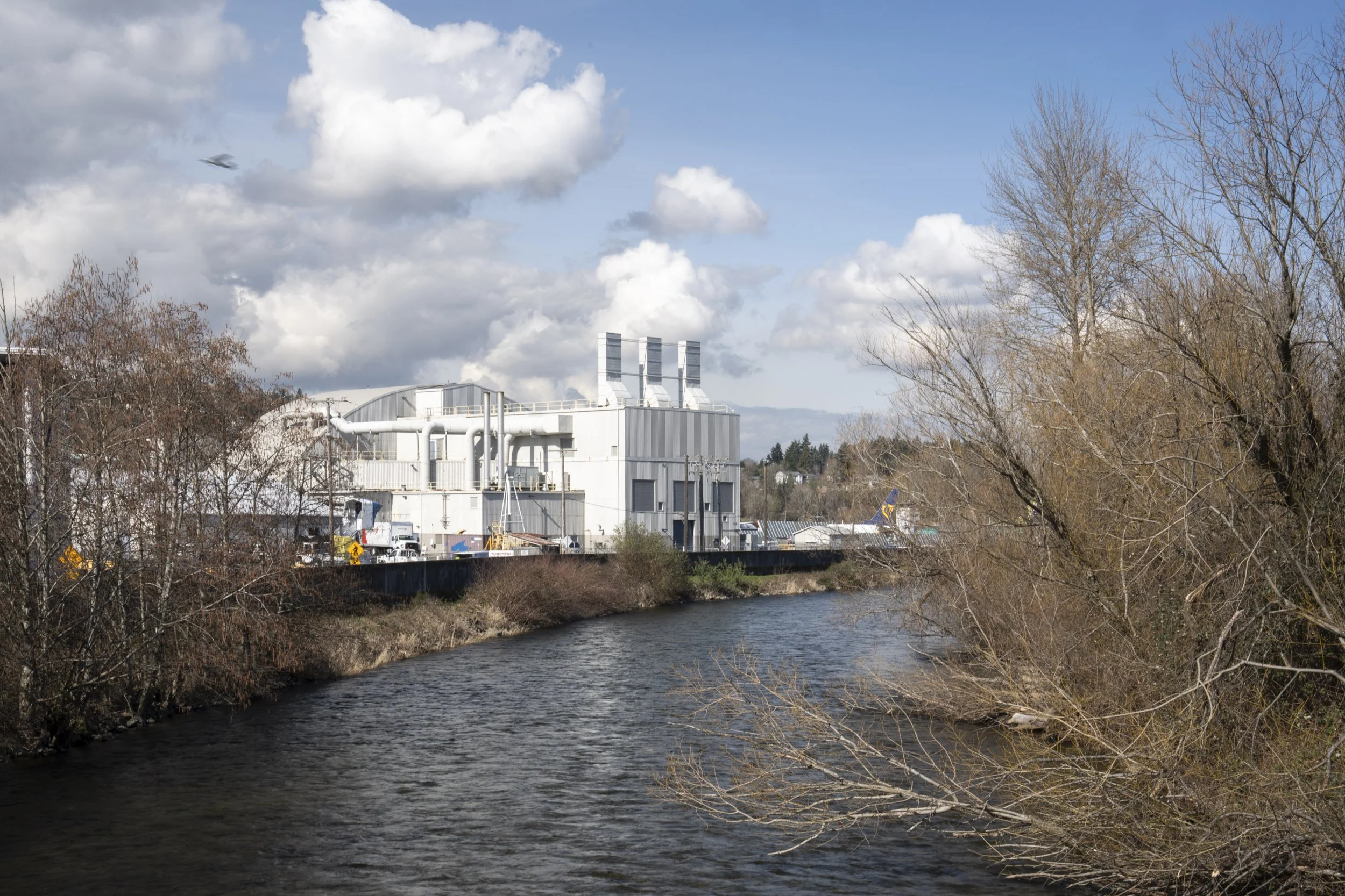
Indigenous peoples named the Black River ‘the river of two mouths’ due to its tidal and seasonal intermittent reversal. For millennia, this three-mile long connection delivered the 770 square mile Lake Washington and Cedar watersheds to the Duwamish at the confluence once referred to as ‘Meeting of Rivers.’ In 1916, canals cut at present day Montlake and Fremont neighborhoods created the Lake Washington Ship Canal, a new connection to Puget Sound at Shilshole Bay. This feat of engineering redistributed the watershed and dropped the Lake’s water level by nine feet. As a result, the Black River ran dry, grounding canoes and leaving fish flopping in the mud. A century later, its bed lies buried beneath Renton’s parking lots and speculative commercial construction. Today, a King County managed pump station regulates runoff from 25 square miles of suburban/industrial development to the south.

Duwamish Origin at Confluence of Green River and Extinct Black River (Meeting of Rivers), 2021

Renton Avenue South and Rainier Avenue South at Extinct Black River, 2021

Ranier Avenue South and SW Sunset Boulevard at Extinct Black River, 2024

Black River Pump Station at Extinct Black River, 2021

Speculative Construction #1 at Extinct Black River, 2021
Final Turn of Northbound Cedar River Channel, 2024

Lake Washington at former south outlet into Black River, 2022

1907 Chittenden map, sheet 7, at Renton

Pipeline at Extinct Black River, 2021

Pond Adjacent to BNSF Railroad Right-of-Way at Extinct Black River, 2021

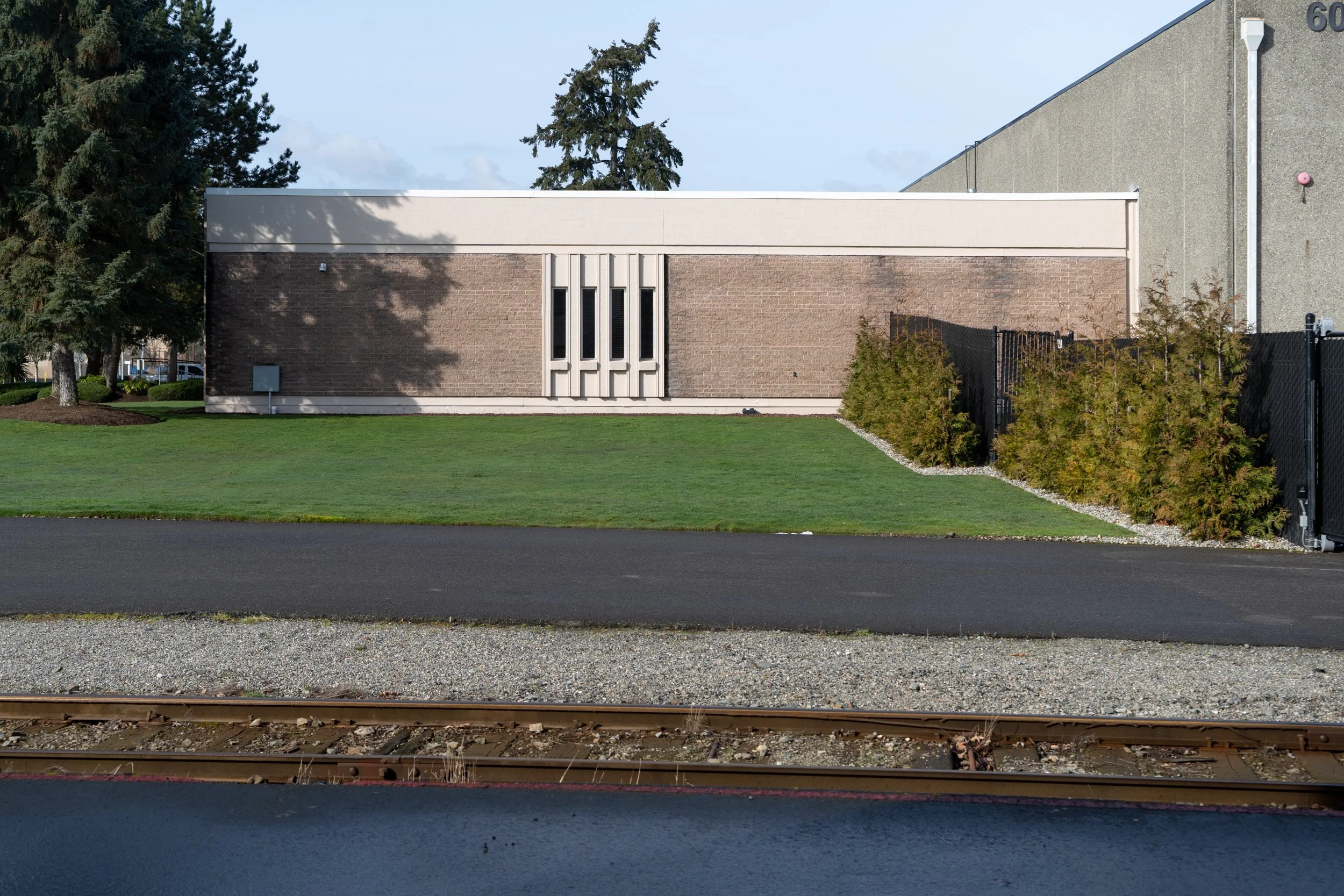
BNSF Railroad at Extinct Black River, 2021
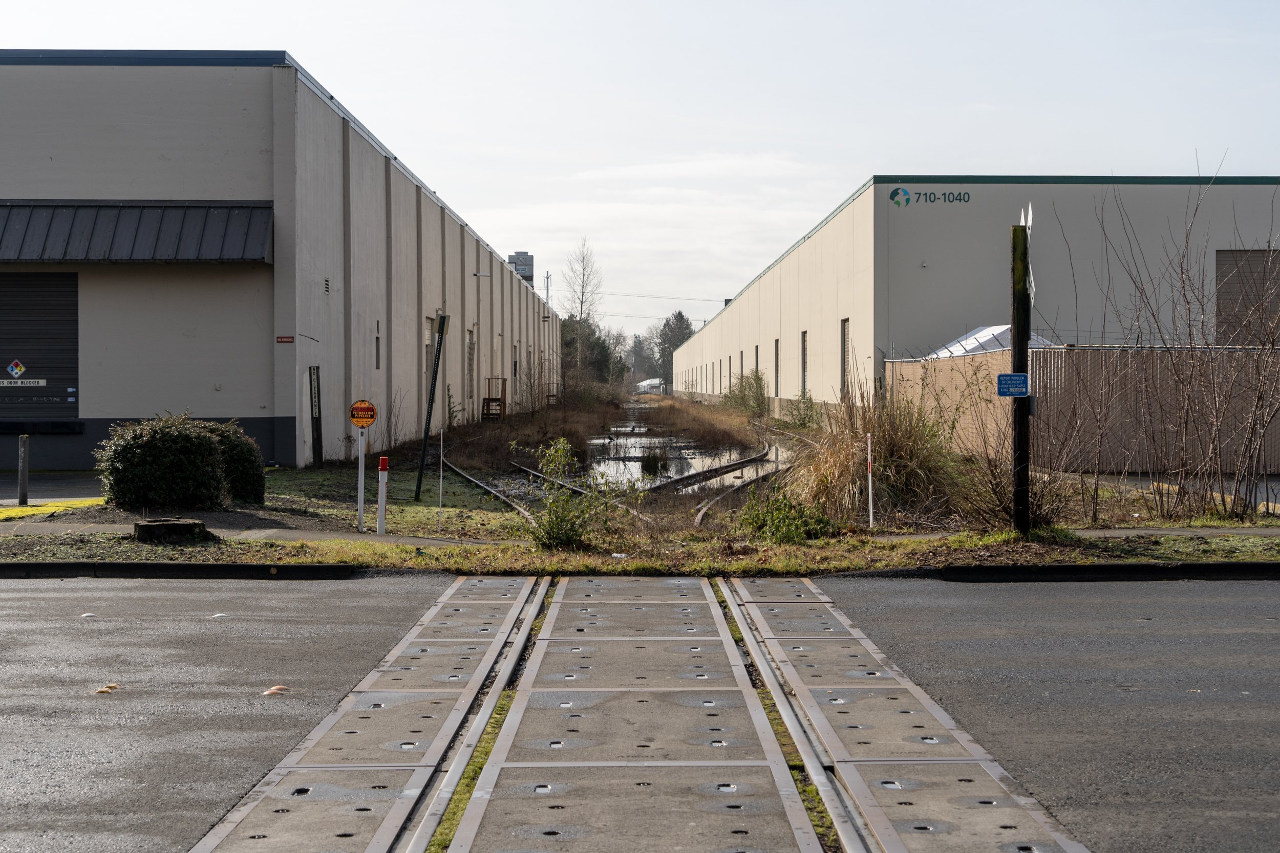
Warehouses on SW 7th Street along Extinct Black River, 2021
Speculative Construction #2 at Extinct Black River, 2021

Drainage basin at BNSF Railroad at Extinct Black River, 2021