Lake Washington
In 1916, the completion of the Lake Washington Ship Canal re-plumbed Lake Washington’s path to the Puget Sound. The Lake’s elevation dropped 9 feet, and its 770 square mile watershed was taken from the Duwamish and (now extinct) Black Rivers. Collateral damage included reduction of the Lake’s acreage of wetland and slough from 1,000 to 74; reduction of its mileage of shoreline from 82 to 72; lost habitats for plants, mammals, birds and fish (already fighting migratory re-routing). Additional landfills, reclamations, dredging, and routing of streams to city sewers completed the transformation. The Lake was spared the plans of some to significantly industrialize its waterfront, and while 78 percent of its perimeter has been devoted to residential land use, small portions have kept intact the old-growth forest that once covered its banks.

Commercial Land at Former Squak Slough, 2024

Parking garage and Boeing Factory at former Renton Wetlands, 2024

Genessee Park at former Wetmore Slough, 2024

Parking Lot at Bellefield Office Park, Mercer Slough, 2024

Sammamish River Outlet into Lake Washington at former Squak Slough, 2024

Detention Pond at South Bellevue Lightrail Station at Mercer Slough, 2024

UVillage Park at former Lake Union bog, above piped Ravenna Creek, 2024

“Historical Changes to Lake Washington and Route of the Lake Washington Ship Canal, King County, Washington” 1983 report and maps by Michael Chrzastowkowski

South Bellevue Park and Ride at Mercer Slough, 2024

Lake Washington looking south through Juanita Bay Boardwalk, 2024

Above former and current Yarrow Bay Wetlands, 2024
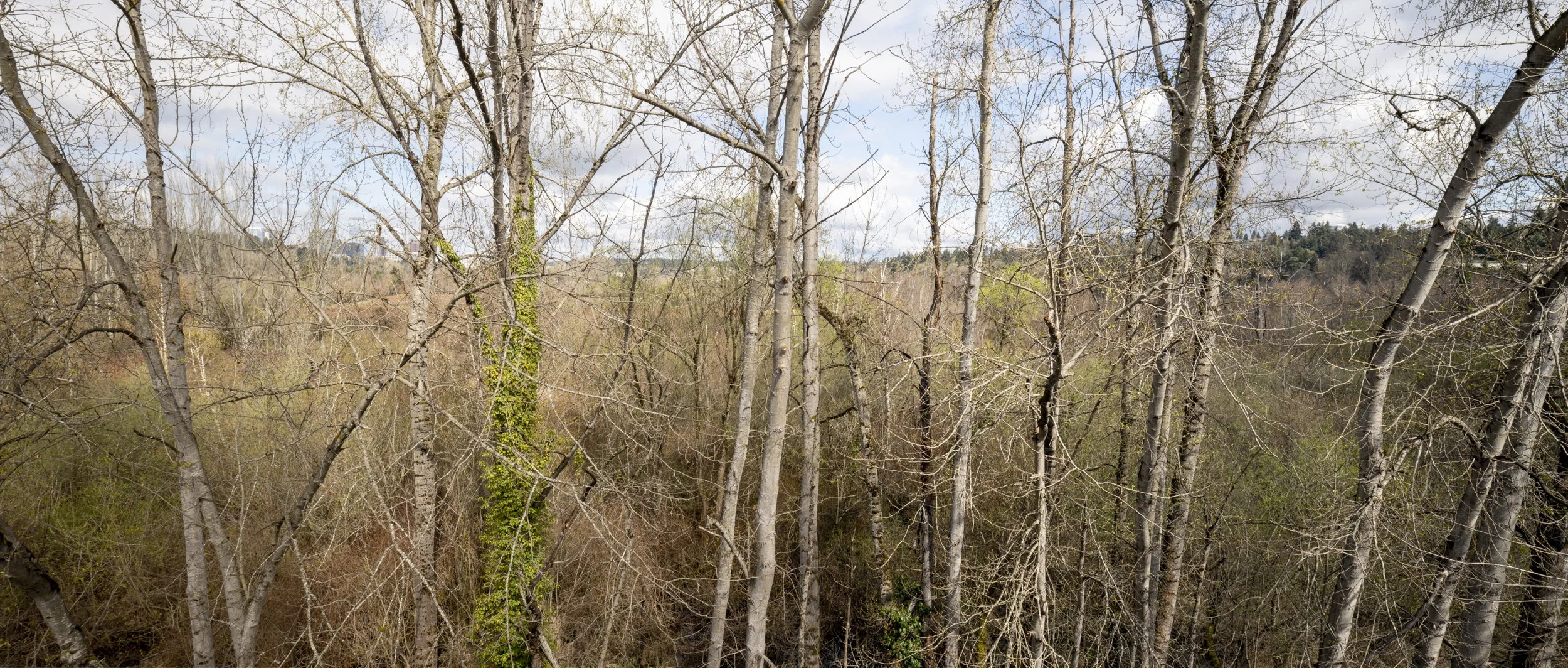
Above Mercer Slough, 2024

Restored Yesler Swamp, 2024

Marsh at former Pritchard Channel / Dunlap Slough, 2024